


 Download
  Application Description
Transform your smartphone into a robust off-road GPS with offline topographic maps! With AlpineQuest, you can enjoy outdoor adventures without the worry of ads, data sharing, or third-party intrusions. It's the ultimate tool for a wide range of activities like hiking, running, trailing, hunting, sailing, geocaching, and off-road navigation.
AlpineQuest allows you to download and store a vast selection of online topographic maps locally, ensuring you have access to them even in areas without cell service. It also supports numerous onboard file-based raster map formats, making it versatile for different mapping needs.
Utilize your device's GPS and magnetic sensor (complete with a compass display) to stay precisely located on the map in real-time. The map can even be oriented to align with your current viewpoint, ensuring you never lose your way.
Save and manage unlimited placemarks, and easily share them with friends. Track your routes, access advanced statistics, and view interactive graphics to enhance your outdoor experience. AlpineQuest is designed to function fully without cell coverage, making it perfect for exploring remote wilderness areas.
Start your adventure with the free Lite version today!
For any suggestions or issues, please use our dedicated forum at https://www.alpinequest.net/forum (no registration required, all queries are answered) instead of leaving comments.
Key Features (Full Version):
★★ Maps ★★
- Built-in online maps with automatic local storage, including road, topo, and satellite maps, and additional online layers such as road names, hillshade, and contours.
- Access a wide range of online maps and layers from our community list, covering major global and local topographic maps.
- Complete area storage of online maps for offline use.
- Support for onboard offline maps (raster) including KMZ Overlays, OziExplorer OZFx2, OZFx3 (partial), calibrated images, GeoTiff, GeoPackage GeoPkg, MbTile, SqliteDB, and TMS zipped tiles. Visit our website for MOBAC, the free map creator.
- QuickChart Memory Map support (only .qct maps, .qc3 maps not compatible).
- Built-in image calibration tool for using any scan or picture as a map.
- Digital elevation model onboard storage (1-arcsec SRTM DEM) and support for HGT elevation files (1-arcsec and 3-arcsec resolutions) to display terrain, hillshade, and steep slopes.
- Polar maps (Arctic and Antarctic) support.
- Multiple maps in layers display, with customizable opacity, contrast, color, tint, and blending for each map.
★★ Placemarks ★★
- Create, display, save, and restore an unlimited number of items including waypoints, routes, areas, and tracks.
- Import and export GPX files, Google Earth KML/KMZ files, and CSV/TSV files.
- Import ShapeFile SHP/PRJ/DBF, OziExplorer WPT/PLT, GeoJSON, IGC tracks, Geocaching LOC waypoints, and export AutoCAD DXF files.
- Save and share online locations with other users via Community Placemarks.
- Access details, advanced statistics, and interactive graphics on various items.
- Use the Time Controller to replay time-tagged tracks.
★★ GNSS Position / Orientation ★★
- On-map geolocation using device GNSS receivers (GPS/Glonass/Galileo/…) or Network.
- Map orientation, compass, and target finder functionalities.
- Built-in GNSS/Barometric track recorder capable of long tracking in a separate, light process, with battery level and network strength recording.
- Proximity and leave path alerts.
- Barometer support for compatible devices.
★★ Additional Features ★★
- Support for metric, imperial, nautical, and hybrid distance units.
- Various latitude/longitude and grid coordinate formats (WGS, UTM, MGRS, USNG, OSGB, SK42, Lambert, QTH, etc.) with on-map grids display.
- Import hundreds of coordinate formats from https://www.spatialreference.org.
What's New in Version 2.3.8d
Last updated on Aug 14, 2024
- New setting to customize the display style and side of the menu bar.
- Enhanced support for recent Android versions.
- Improved backup and restore tool.
- Updated default URL for sharing coordinates as text.
- Option to set the application's "Media" folder as default for placemarks, icons, pictures, and file-based maps.
- Added Croatian and Persian translations.
- Various improvements and bug fixes.
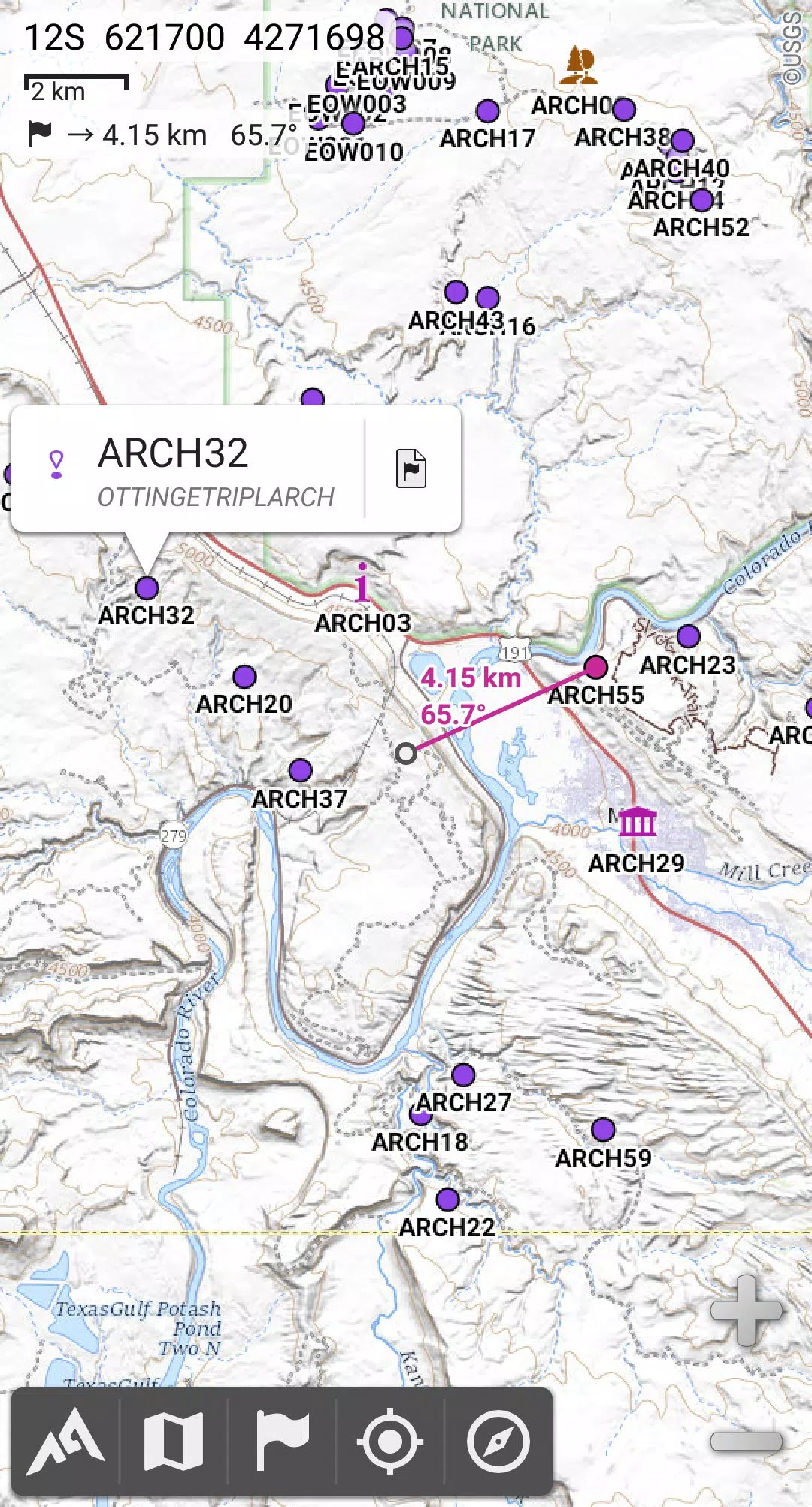
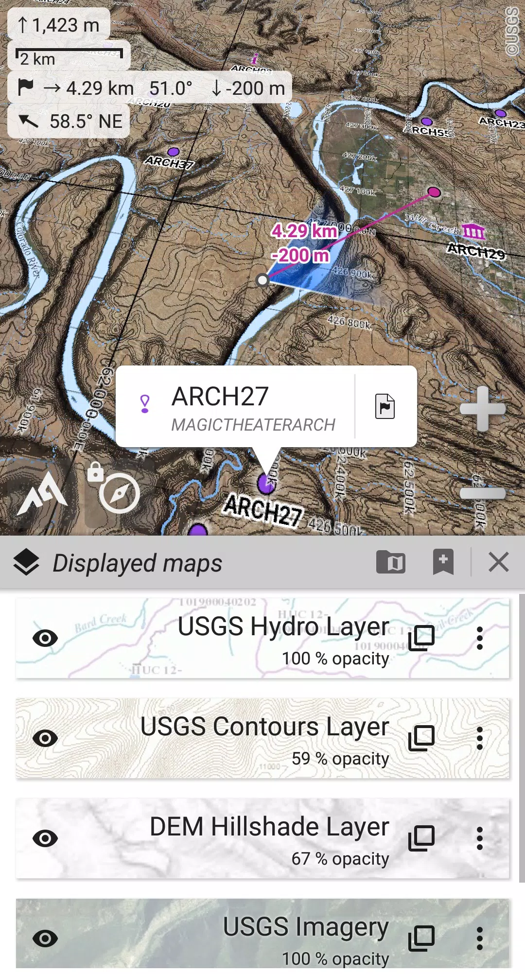
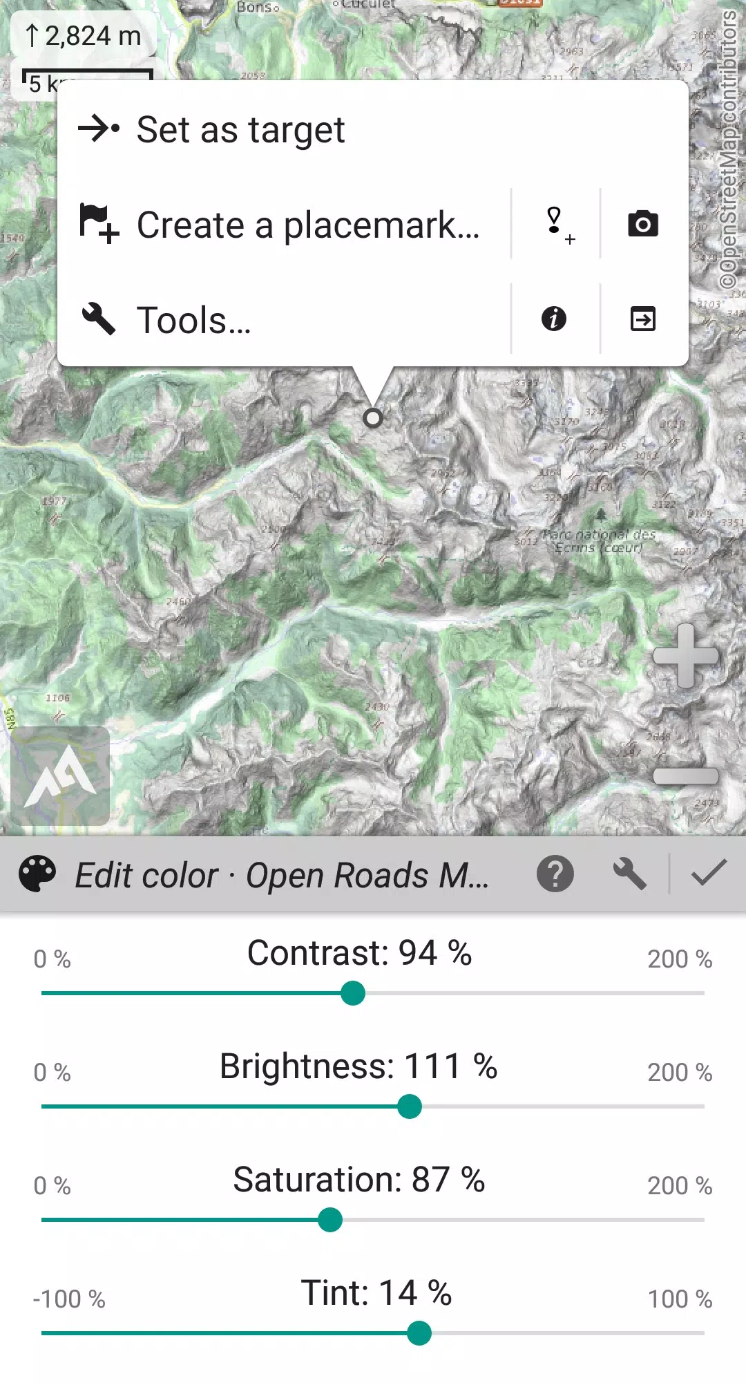
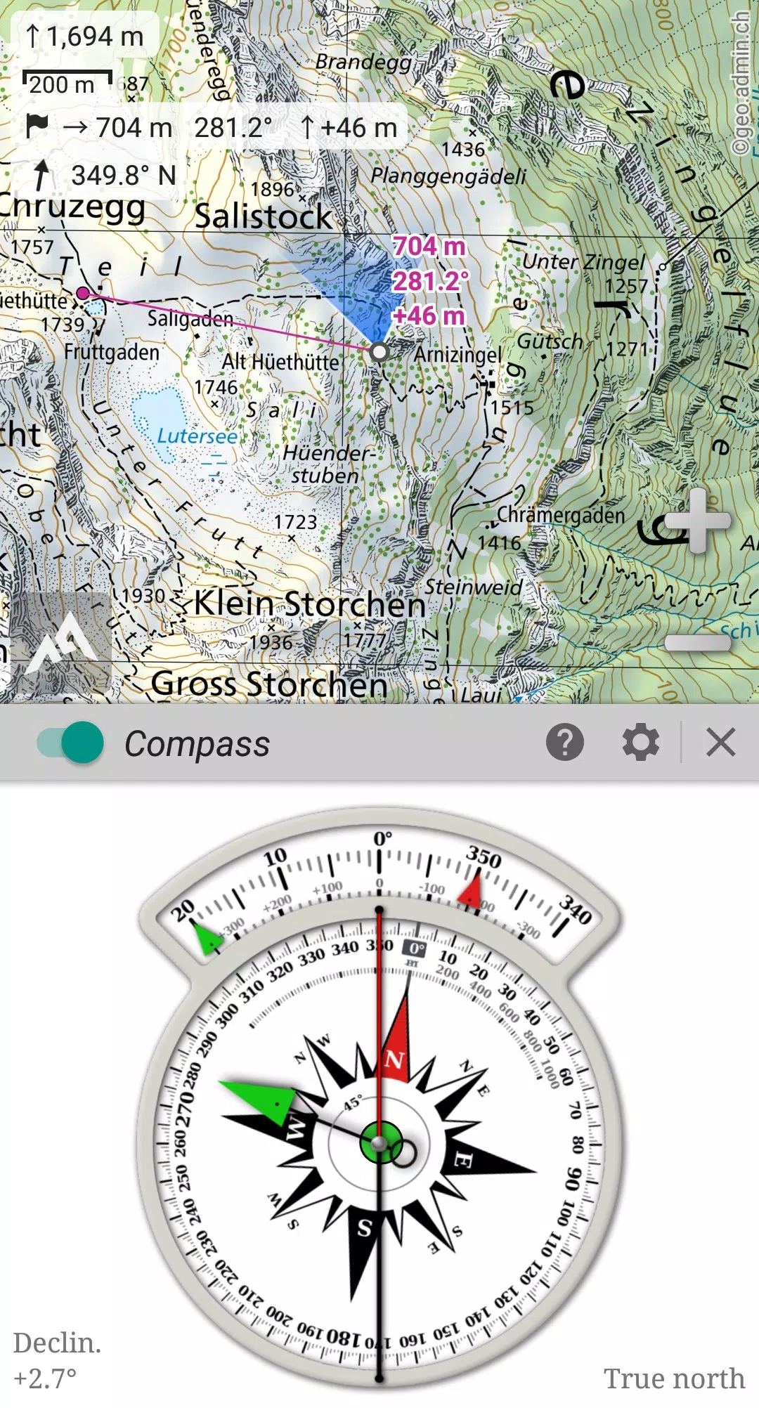
Screenshot
 Reviews
Post Comments+
Latest Apps
MORE+
Reviews
Post Comments+
Latest Apps
MORE+
-
 Partille Cup
Lifestyle 丨 16.50M
 Download
-
 Trikatlón Tres Cantos
Lifestyle 丨 23.00M
Download
-
 POPxo - Take It Up A Pop!
Communication 丨 11.60M
Download
-
 Subject 9 — Motion Furry Comic
News & Magazines 丨 9.90M
Download
-
 Mangamo Manga & Comics
News & Magazines 丨 20.09M
Download
-
 King Social Auto Liker
Tools 丨 3.00M
Download
Similar recommendations
MORE+
Top News
MORE+

 Topics
MORE+
Topics
MORE+
- Essential Media and Video Tools for Android Users
- Best Apps for Following Current Events
- Top Photography Apps for Beginners
- Best Beauty Apps for Makeup Tutorials
- Realistic Simulation Games Collection
- Addictive Offline Games You Can Play Without Internet
- Top Casual Games for Mobile
- Top Multiplayer Battle Games for Android
Trending apps
MORE+
-
1

Migraine Buddy: Track Headache68.57M
Discover Migraine Buddy: Track Headache: Your Ultimate Migraine CompanionJoin the 3.5 million migraine sufferers who trust Migraine Buddy: Track Headache, the app designed to help you understand and manage your migraines. Here's how Migraine Buddy: Track Headache can help you: Pinpoint Patterns: Quickly identify triggers and patterns in your mi
-
2

Smart Life - Smart Living53.49M
The Smart Life app revolutionizes the way we control and manage our smart devices, bringing convenience and peace of mind to our everyday lives. This user-friendly app makes connecting and controlling a wide range of smart devices easier than ever before. Effortlessly set your devices to function ex
-
3

Обои для Стандофф 2 HD22.39M
Experience the adrenaline-pumping world of Standoff 2 like never before with "Wallpapers for Standoff 2." This must-have app is a treasure trove of vibrant and epic wallpapers that will transport you straight into the heart of the game. Whether you're a fan of popular characters, powerful weapons, t
-
4

RealVNC Viewer: Remote Desktop6.5 MB
Access your computer from anywhere using RealVNC Viewer! This Android app transforms your phone into a remote desktop, providing seamless control of your Mac, Windows, and Linux machines. RealVNC Viewer lets you remotely view and control your computer's desktop, mouse, and keyboard as if you were s
-
5

Cuevana 8 Mod11.43M
Cuevana 8 Mod APK is a leading app in the world of streaming, offering a wide range of high-quality movies and series. This app, which originates from the renowned Cuevana website, has been providing top-notch content for over two decades. Cuevana 8 Mod APK is popular for its user-friendly interface
-
6

Билеты ПДД 2023: экзамен ГИБДД36.35M
The Билеты ПДД 2023: экзамен ГИБДД app is your ultimate resource for acing the Russian theoretical driving exam. This comprehensive application covers all 40 exam questions and answers for categories ABM and CD, ensuring up-to-the-minute accuracy by referencing the official ГИБДД website. Prepare
27.19M
Download63.00M
Download11.55M
Download10.00M
Download49.50M
Download38.00M
Download